NATURAL RISKS
SENEGAL
Saint-Louis region
2020 – 2021
Funding
Recipient(s)
Municipal Development Agency (ADM)
Assignee
Egis
Project summary
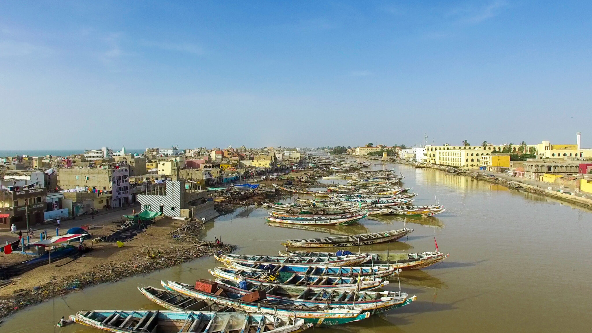
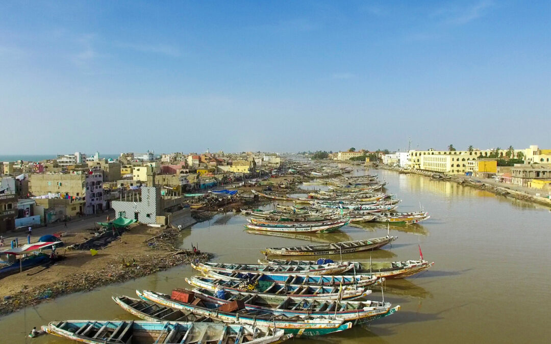
The Senegal River Delta faces significant vulnerability to climatic hazards, spanning from severe droughts to recurring floods. In Saint-Louis, a population of over two hundred thousand people resides in exposed areas. The floods in late 2003 prompted Senegalese authorities to breach the Langue de Barbarie, an extensive sandspit that extends southward, directing the Senegal River along the coast, approximately 7 kilometres downstream from Saint-Louis. This was done to facilitate the discharge of river floodwaters into the sea. The opening, lacking hard structures to control it, initiated a process of widening and displacement of the breach, along with plugging the old mouth.
The gradual southward shift of the new mouth resulted in coastal erosion issues on the Langue de Barbarie and the banks of the Gandiolais region, as well as saline intrusion into aquifers used for agriculture. The project aims to study and compare different management strategies for the breach and its consequences (both negative and positive), while increasing the level of protection of the area against the risks of flooding and submersion.
Tasks carried out by Ecoresil
Economic modelling for cost-benefit analysis comparing the intervention strategies
Non-monetarized and spatialized multicriteria analysis in addition to monetary indicators
Regional socio-economic evaluation of intervention strategies, including a conflicts of interests analysis
Our references
